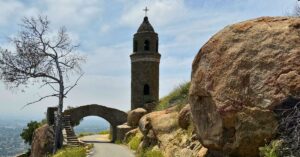
Potato Chip Rock – Proving how out of shape I really am.
Potato Chip Rock, a natural tourist attraction I became aware of within the last year. I’m not sure when or how I first heard about it, but since then it’s been on my radar. This thin rock that appears to hang out over nothing yet can support the weight of fully grown adults was so appealing.
Initially my thoughts of Potato Chip Rock were highly misconstrued. In my mind, you just parked somewhere, then walked a couple feet to this rock that just jutted out of the ground. Obviously, I was wrong. Very wrong.
Where is Potato Chip Rock?
Potato Chip Rock is located in north San Diego County between Poway and Ramona, about 30 miles north of Downtown San Diego.
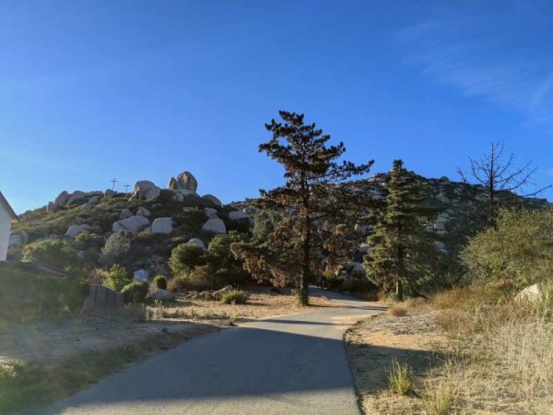
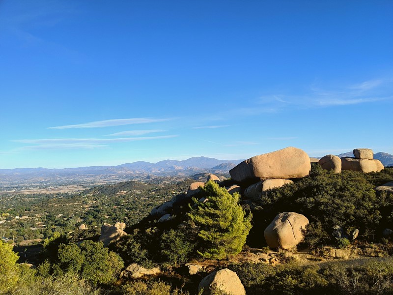
The Rock itself is located on the Mount Woodson Summit at an elevation of 2700-2800 feet. Named because it simply resembles a potato chip, the rock is about 7 feet long and thins out as it reaches the edge. 1
How to Get There
There are three popular starting points for the hike to Potato Chip Rock.
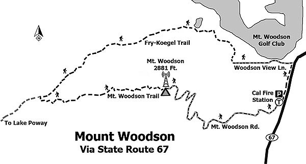
Lake Poway
The first route is through Lake Poway. For the purposes of this post, I used Google Maps. From there an option for Mount Woodson Trailhead appeared. Mount Woodson Trail, Poway, CA 92064. There is a weekend/holiday parking fee, which I remember to be maybe $10 from when we went a few years ago. Poway residents can park free with ID.
This option has picnic areas and bathroom facilities. It is also noted to be the most scenic of the three popular options. The beginning of your hike takes you around Lake Poway, a beauty in itself. It is around 6.6 miles round trip.

Fry-Koegel Trail
The second option is the Fry-Koegel Trailhead. This trail is located off of South Woodson Drive, near Route 67. It does appear to be in a residential area, and parking is free. Do be respectful and mindful of the residents of course. According to The Hiking Guy, this route offers some great scenery as well, but is not as scenic as the Lake Poway route. This route is about 4 miles each way and has no bathroom facilities.

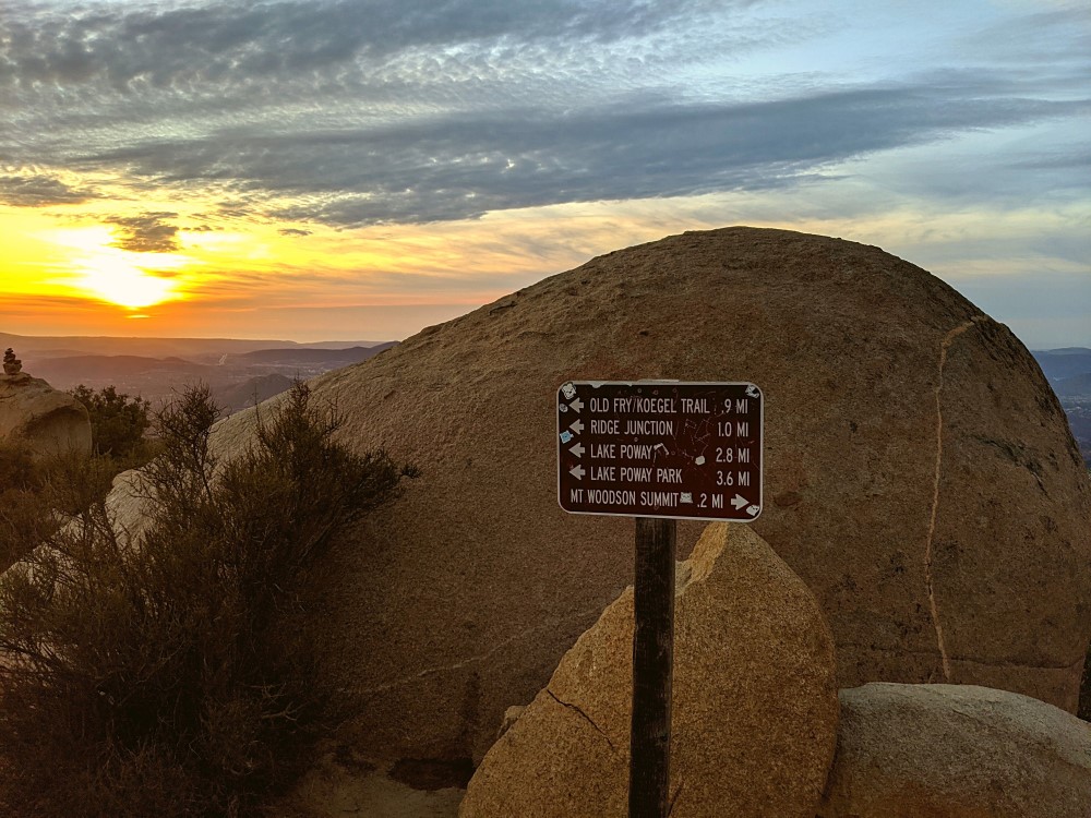
Mt. Woodson Trail
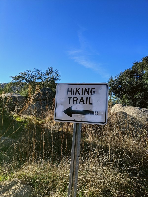
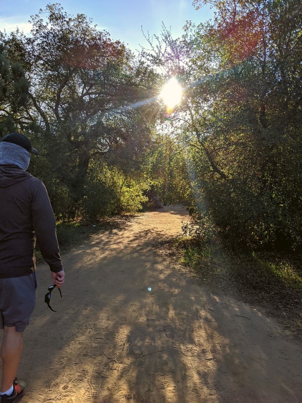
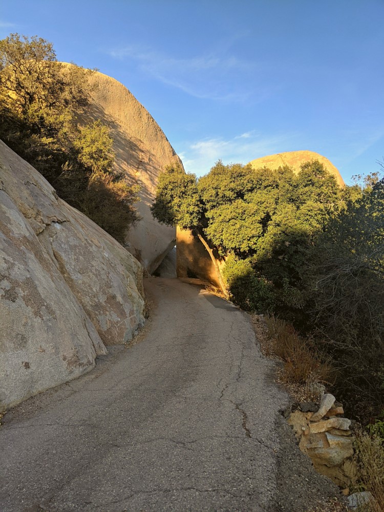
The third popular option for your trek to Potato Chip Rock is Mt. Woodson Trail. This is the trail Matt chose. Located on Route 67 near the Ramona Fire Station, there is a wide shoulder on the road for you to park. You’ll know you’ve arrived when you see all of the cars. Of course be careful, as it is a highway and cars are speeding past you.
It appears there was an entrance which is now gated off, possibly due to COVID. However, there are easy to follow signs with arrows pointing you to another entrance to the trail. They directed us to the paved route this option is known for.
Again, no bathroom facilities. Speaking from experience, I recommend stopping somewhere before you arrive, because it’s a long time until you can go again.
And now, we walk….
The Mount Woodson Trail is paved and the shortest trail at just 3.75 miles round trip. It’s a bit closer to the rock than the other two, but it is steep. Very steep.
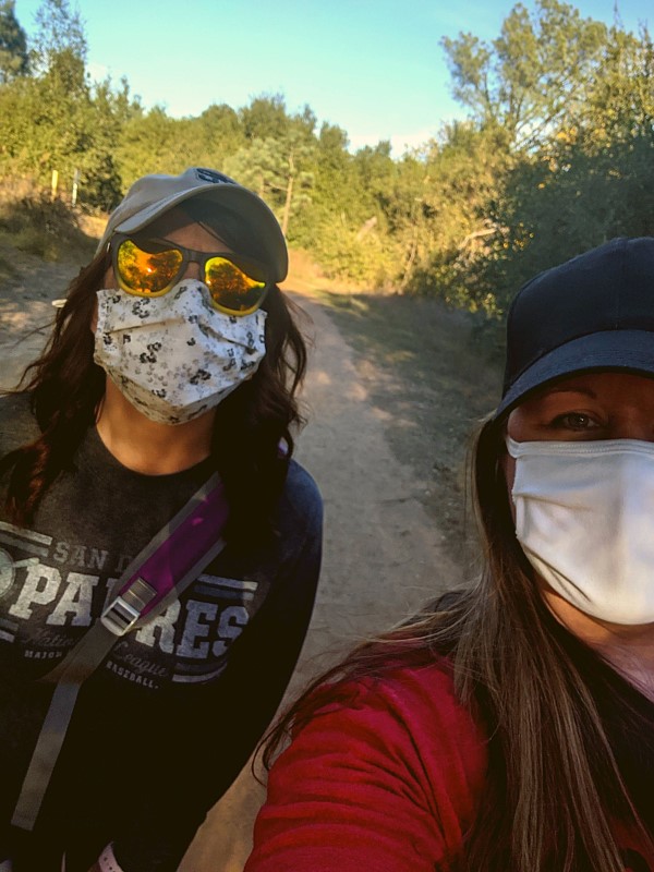
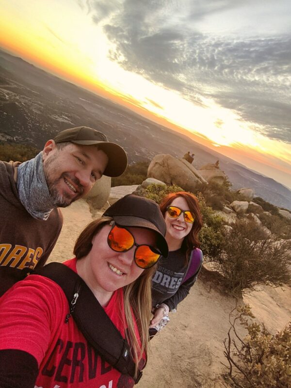
We had my sister with us, who happened to be in California for work. She may never join us on another adventure again after this!
I kid, she actually really enjoyed it.
More out of shape than I cared to admit, I did need many stops along the say as my legs were very unhappy with me. Actually my legs, my hips, my knees, my lungs. If you do choose this route, take your time. Don’t feel bad for stopping. We saw plenty of others stopping to take breaks along the way which made me feel better. We would have taken our time more, but we headed out late that day and knew our trip back down wouldn’t be until after sunset. It would be dark until we got back to the car.
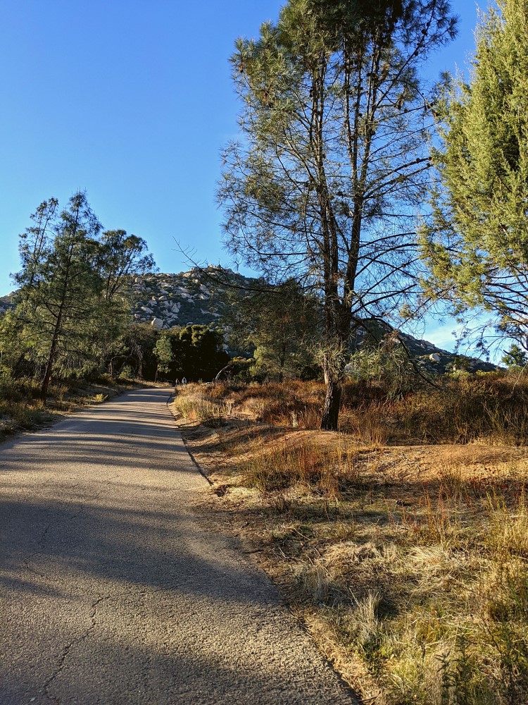

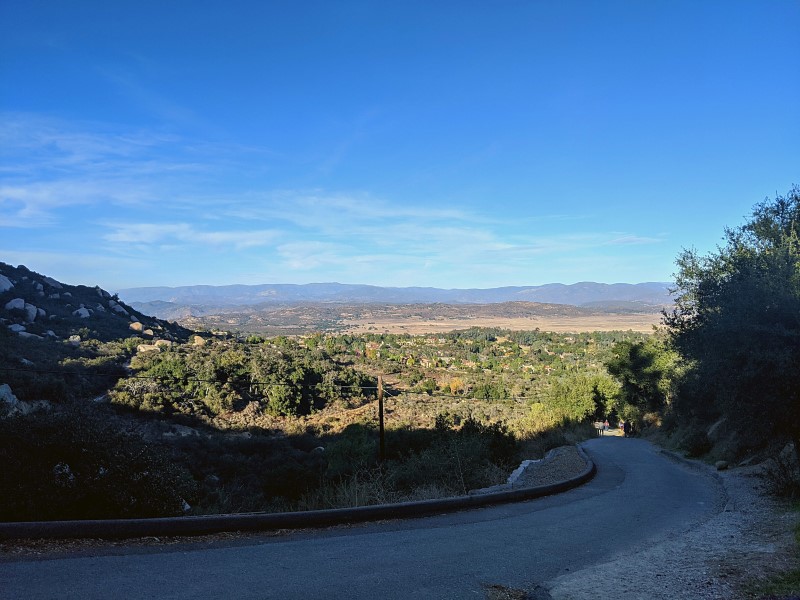
A few websites I found listed this as the route with the least amount of scenery. If this isn’t scenery…then I need to check out the other two routes to see what they have to offer.
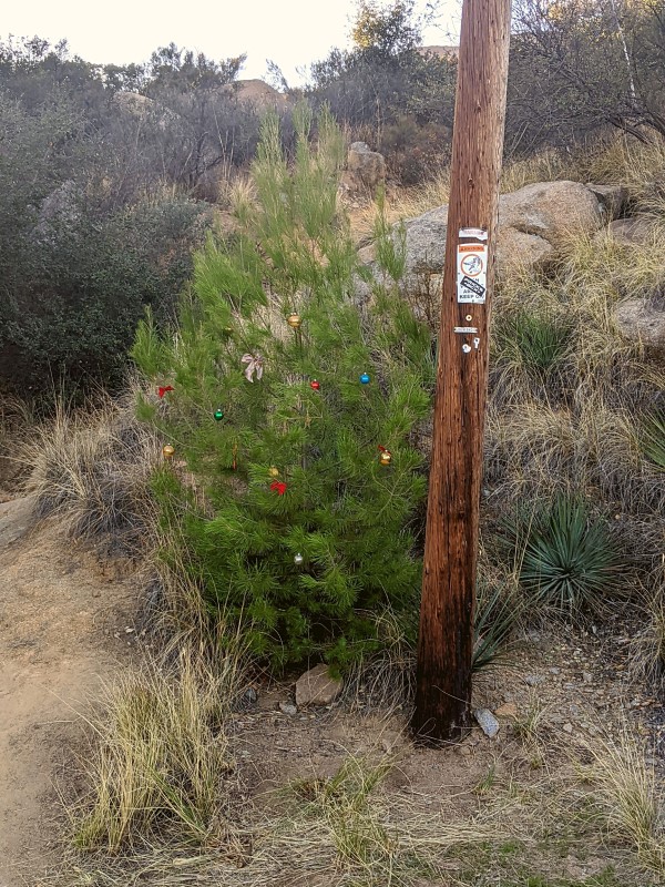
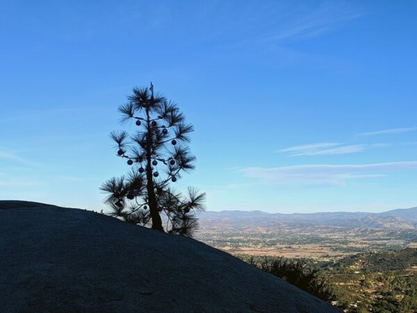
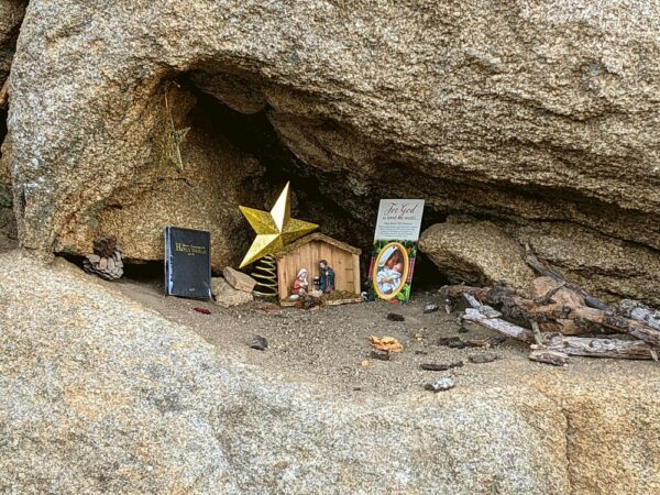
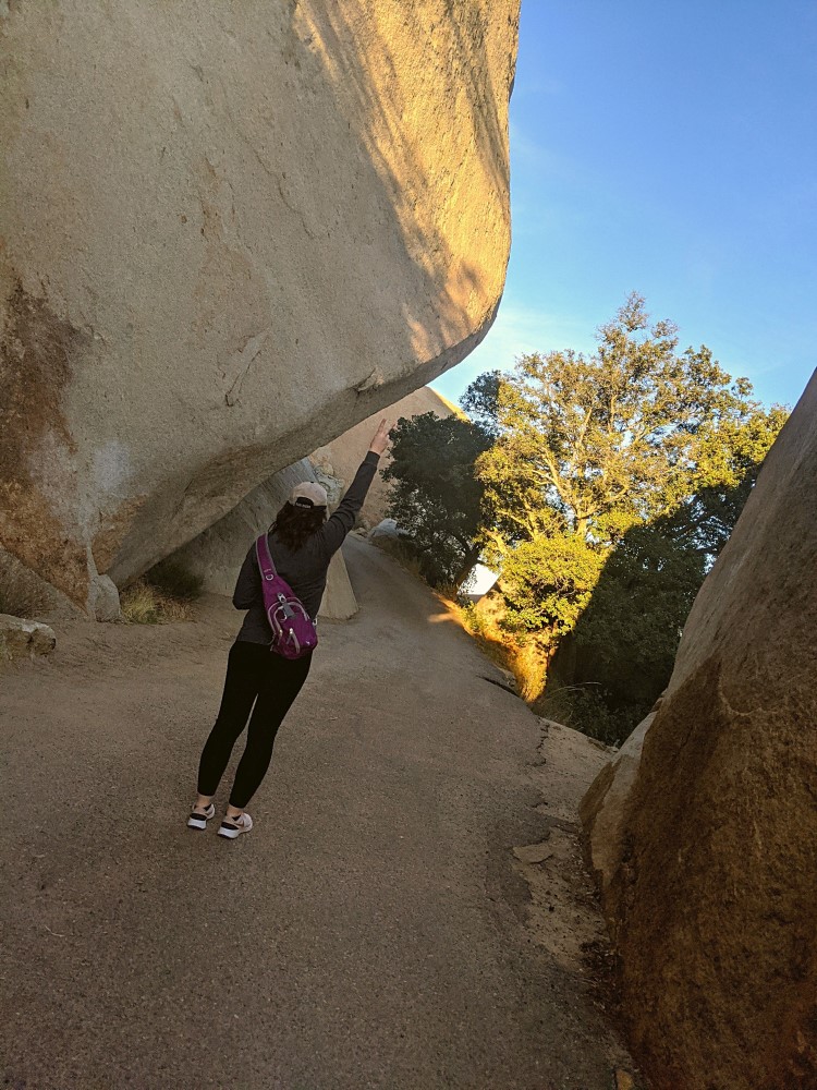
We did see some Christmas decorations along the way. Two trees with some ornaments added on met us along the trail. As we rounded one of the steep corners we also came across this Nativity set inside of a rock.
Being “THOSE” People
We had our social media style photo shoot as we made our way up the steep trail. Did you even hike if you don’t get a photo of yourself from behind looking out over the area?
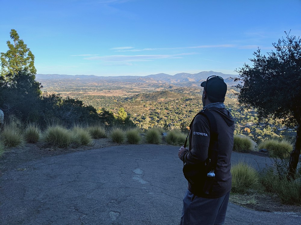
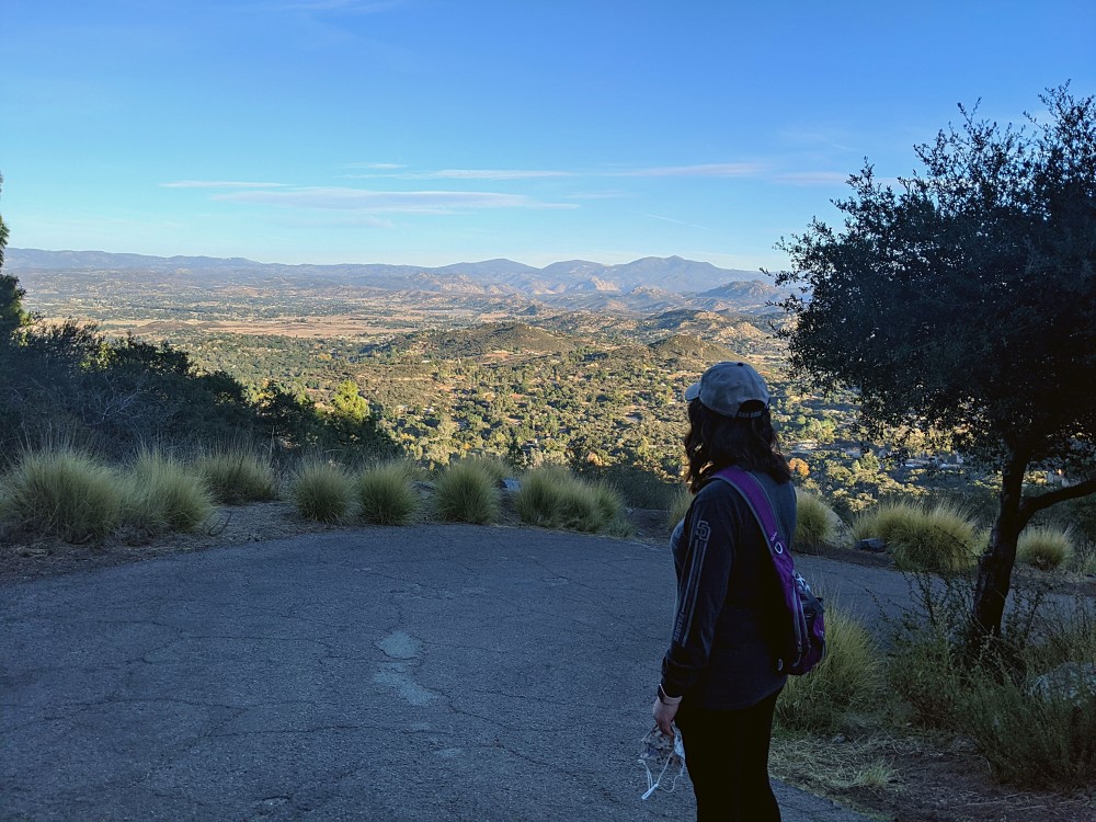
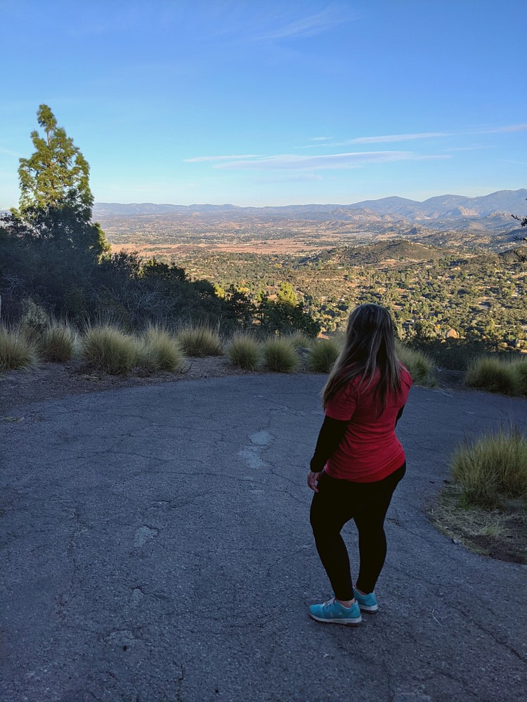
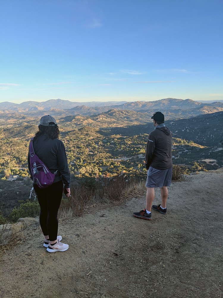
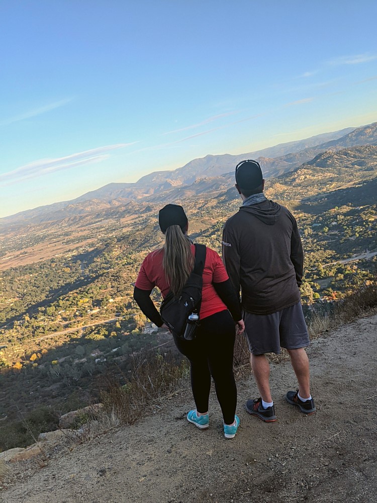
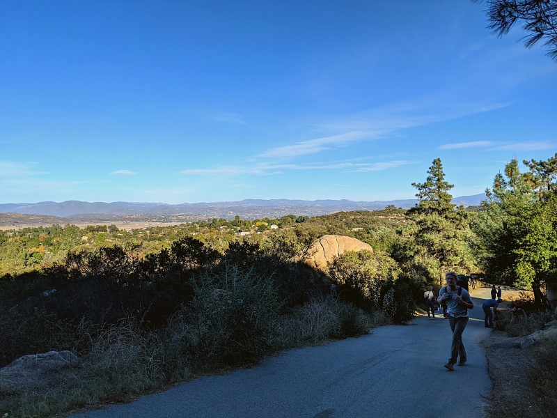
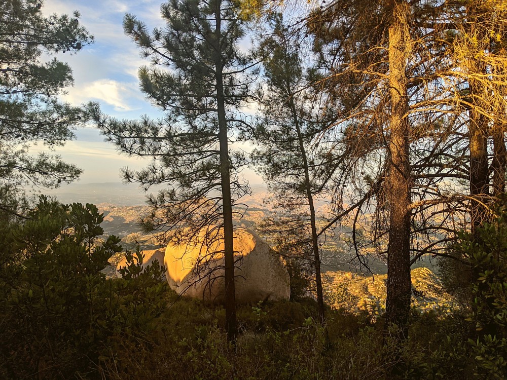
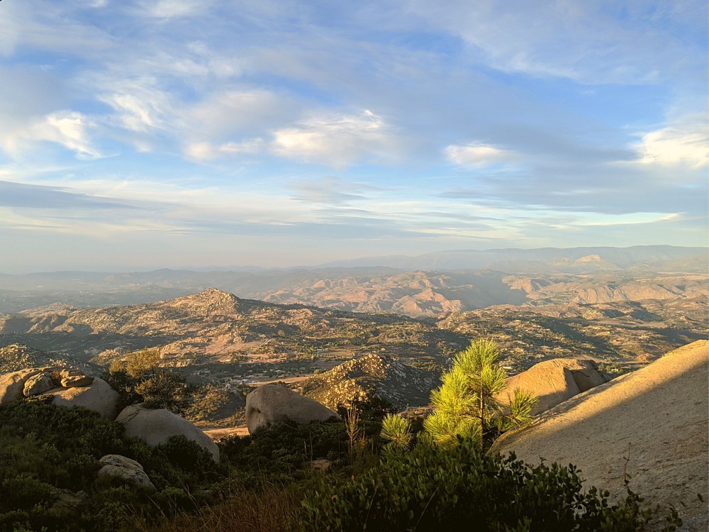
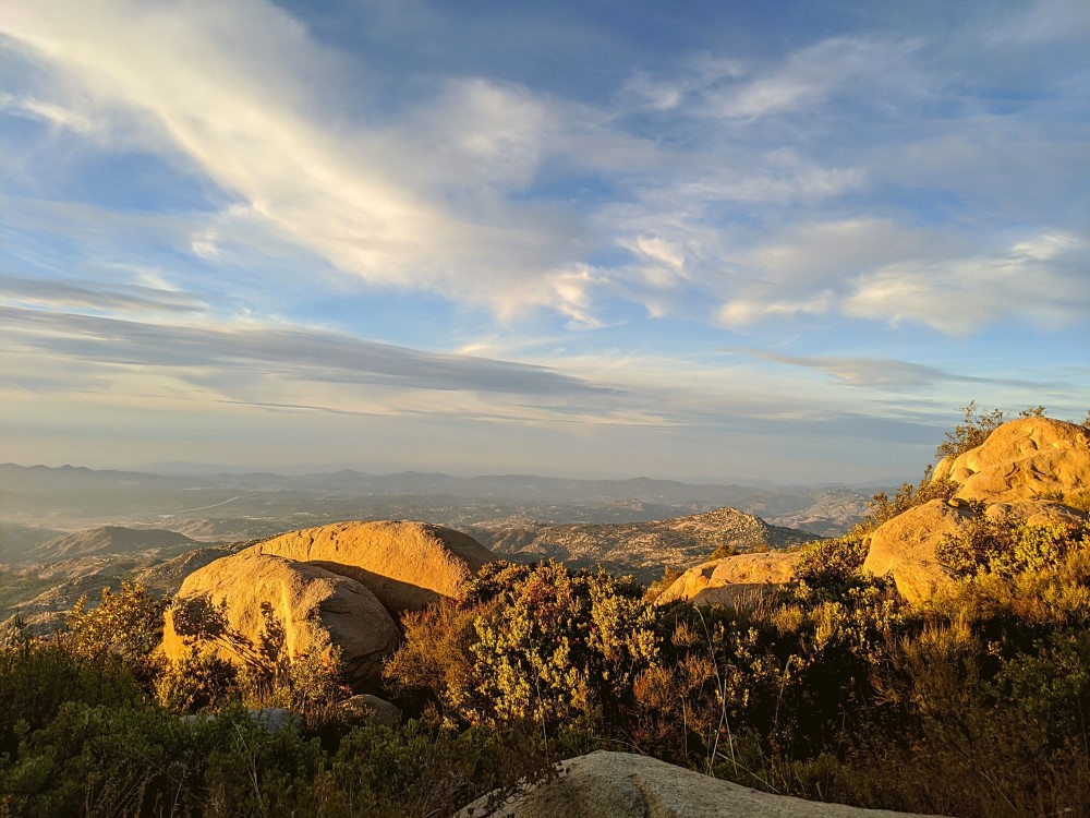
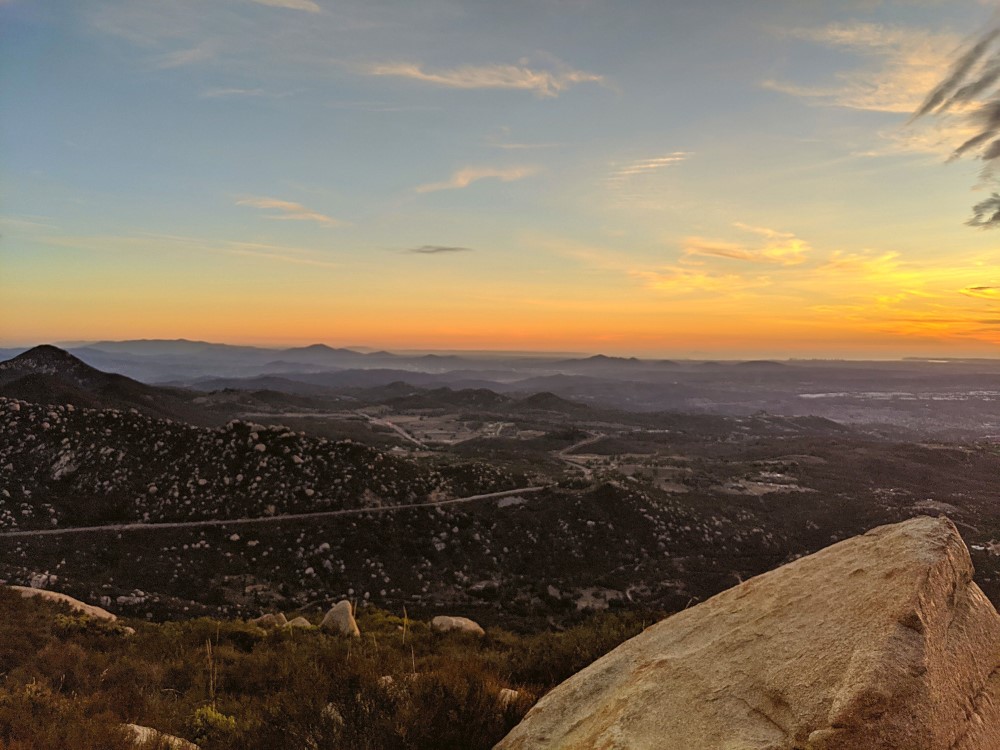
Sights Along The Way
The view kept getting more beautiful as we continued on. I kept checking Google Maps to see how far we had to go. It seemed as though we’d never get there.
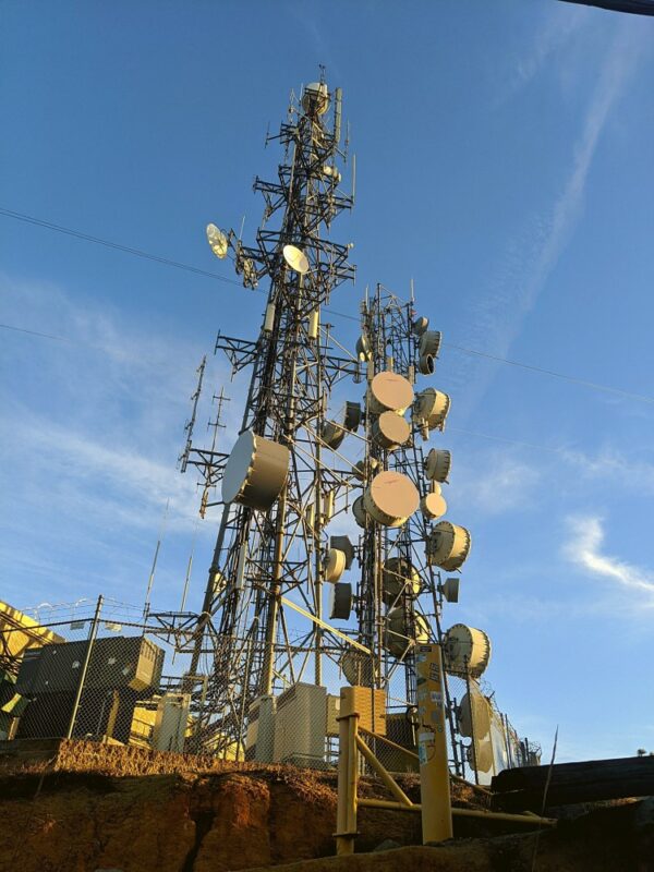
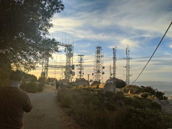
Alas, eventually we did make it. We were met by some large towers and satellites. I shouldn’t have been as surprised to see them as I was.
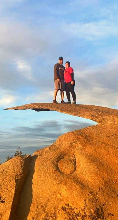
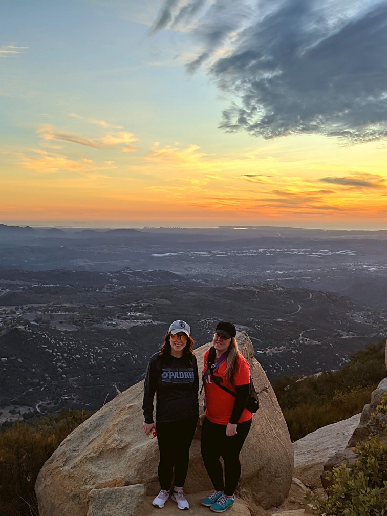
Finally At Potato Chip Rock
We made it! Now time for our photo op! There were about 20 or so other people there when we arrived. Two families in front of us as Matt and I got in line.
So I knew there was “a jump” to the rock. Well, there is. To get on the rock, you need to climb up onto one rock, which took some courage and faith in my own balance abilities. Then you need to jump on to the actual rock as shown below. Despite 20 years or so of ballet, this was an entirely different kind of graceful; the kind I lack.
I almost backed out. It’s true. I looked down and imagined what it was I would be falling into if I shifted one way or another while leaping onto the rocks.

To get off the rock, you need to either take another leap of faith into a crowd of strangers or slide down in between the two rocks and hope your sneakers would hold you. Mine didn’t and I slid into the rock on the way down. Magically did not tear my pants (that would have been my luck), but I did bust my knee open a bit. I’ve injured myself worse walking down the street, multiple times.
But we did it. We leapt onto Potato Chip Rock and got our photo proof.
I’ve been asked why we didn’t head out to the edge . It was “above the scenery” enough for me!
ENJOY HIKING? CHECK OUT THESE POSTS! MORE TO COME.
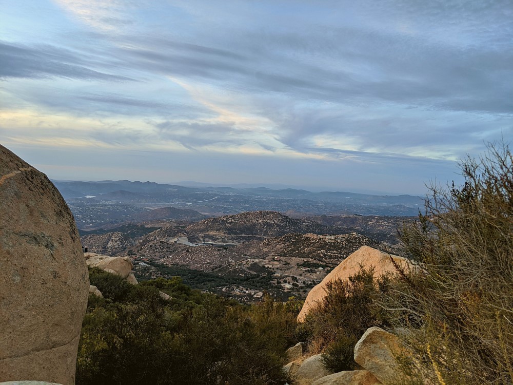
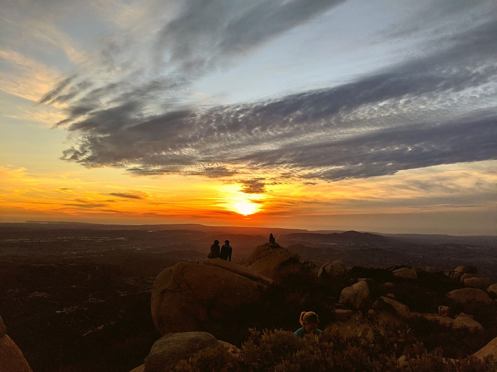
Sunset at Potato Chip Rock
Watching the sunset from above, a beautiful way to relax before heading back down.
Final Thoughts
Make this a to do. I would go again, via Lake Poway next time probably. My knees weren’t up to the challenge on the way up or down. Having bathrooms available right before you start is a plus too. That’s a personal preference. Also, the lake is beautiful, why miss an opportunity to see it from above? Grab your family and find some time to go. Do remember weekends it will be busier, and in hotter months, you’ll want to go in the morning especially with the lack of shade throughout most of the trails.
Our hope for 2021 is to do a bit more of this more often. Probably not something as intense.
Check out more of our California Travels here.
Potato Chip Rock https://t.co/igcMr8mo7x via @grecobon #potatochiprock #sandiego #grecobon pic.twitter.com/a9lvlnO68U
— grecobon (@grecobon) December 27, 2020